The Epic Faroe Islands Road Trip Adventure

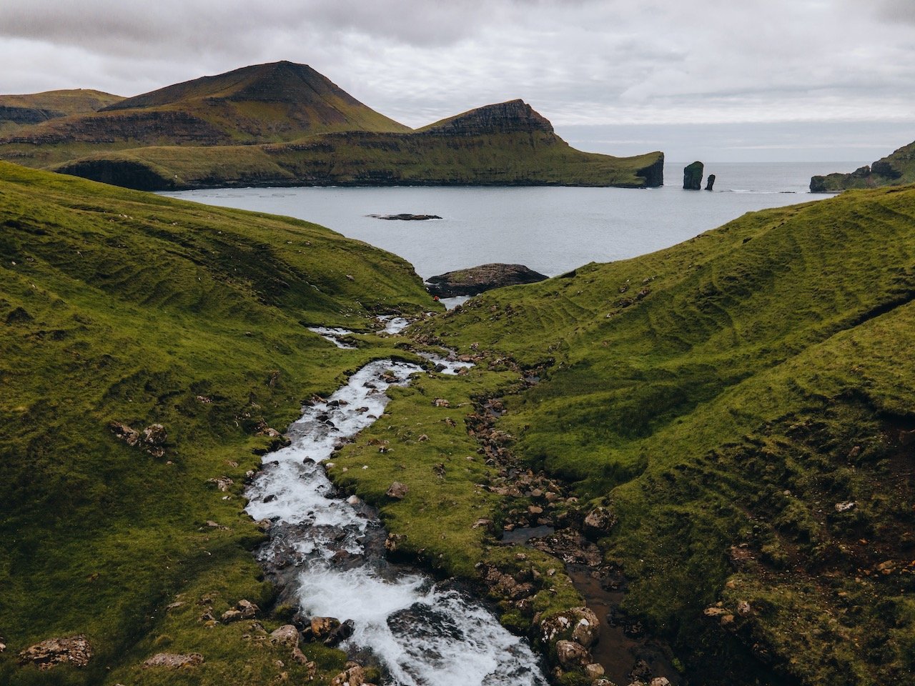
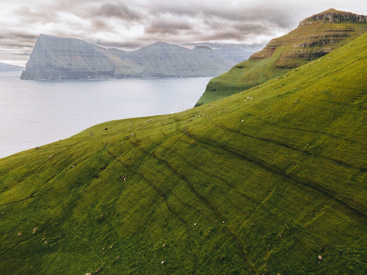
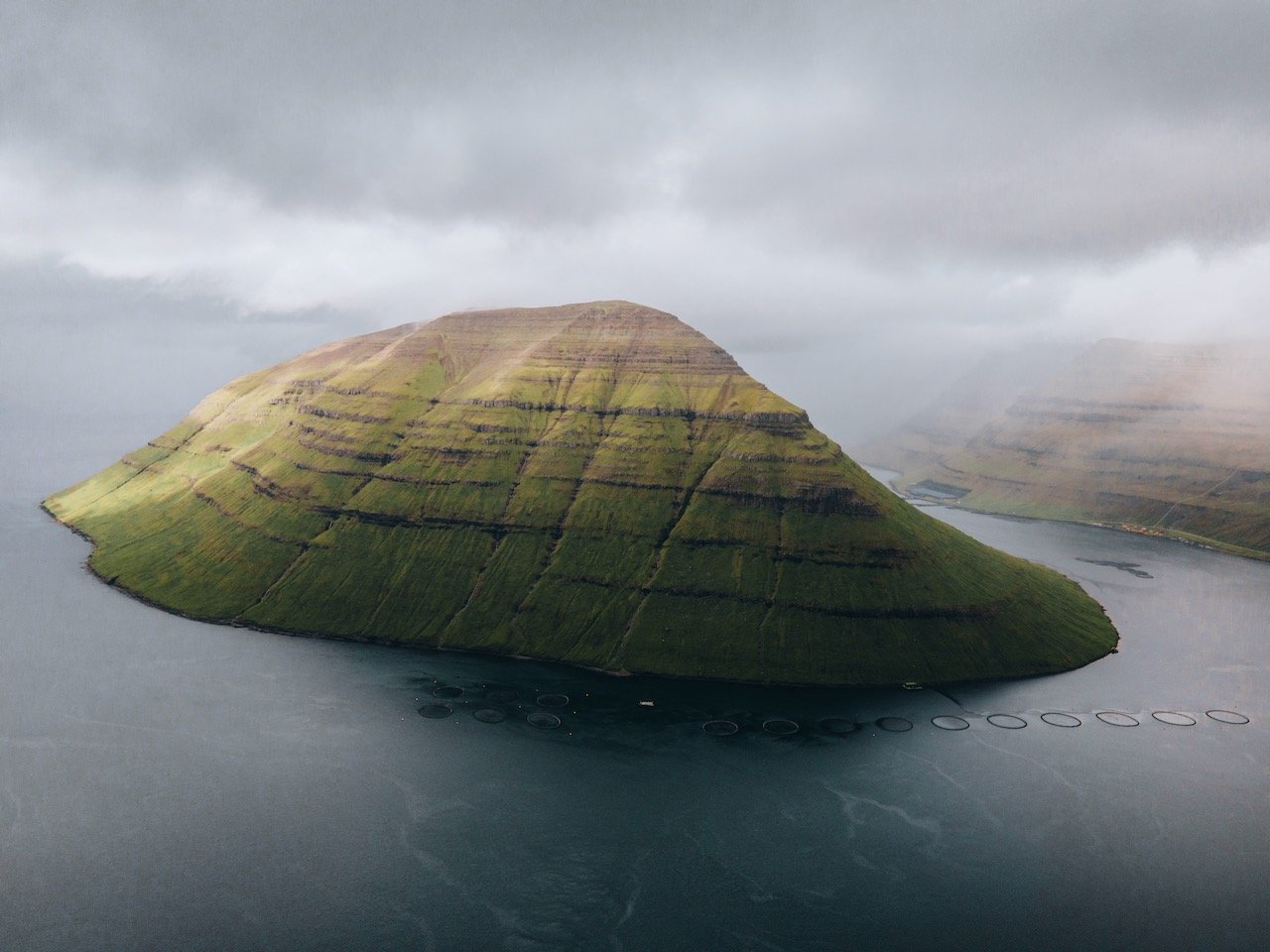
Kunoy and Bordoy, Faroe Islands (ISO 200, 4.5 mm, f/2.8, 1/30 s)
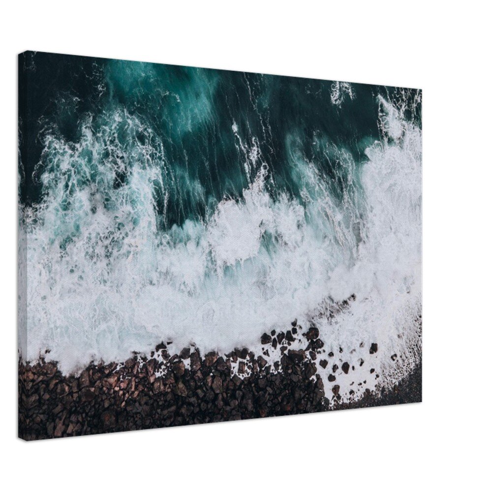
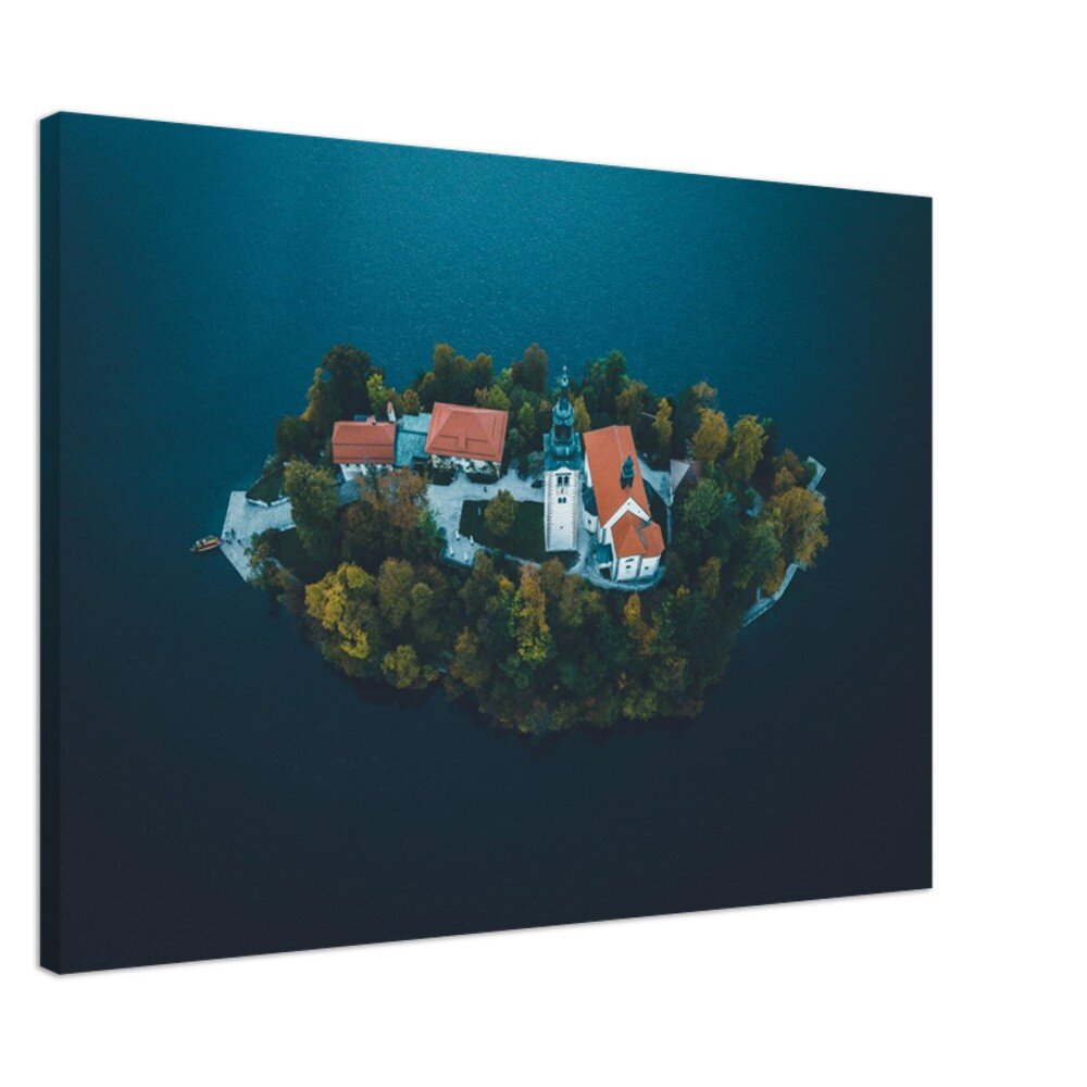
(Some links in this post are affiliate links. If you click through and take action, I'll be compensated.) If you are also interested in any PRINTS from any of my posts, be sure to check out my store where you can buy prints as posters, in metal/wooden frames or on canvas.
**This post is a summary of a 11-post series discussing what to see in each island of the Faroes (You can check out the other parts in the list below, separated by each specific island (just click on the island name to see the blog post.**
The Faroe Islands, or the Faroes, are an archipelago located in the North Atlantic Ocean and are a part of Denmark. The subpolar oceanic climate, moderated by the Gulf Stream, make the temperature of the Faroes nearly constant throughout the year. Origins of the Faroe Islands date back as early as 500 AD, thought to be settled by people from Great Britain or Ireland. [Funfact: The population of sheep (70,000) outnumber the human population (54,000)]
I went to the Faroe Islands in July 2022, after a year of planning and just a few days after traveling through the Lofoten islands in Norway. Given how close everything is in Faroe, I figured I would just use public transport to get around but quickly realized that to get the MOST out of the trip, I should rent a car.
So I rented a car for a few days and saw the hard to see places (the spots that public buses don’t access very often or at all), zigzagging my way through the country. I spend 6 total nights here which I think was plenty though I could have done more if given more time. In documenting my trip, I managed to break down what I saw in each and (nearly) every island in the Faroese archipelago.
Side note: I swear by road trips now and have done so in New Zealand, Namibia, and Iceland (a few times). If you want more information from these trips, check out my blog links below:
Iceland (Blog Post: The EPIC Iceland Road Trip: A Summary)
New Zealand (Blog Post: New Zealand Road Trip - North Island and South Island)
Namibia (Blog Post: The Perfect Road Trip Through Namibia)
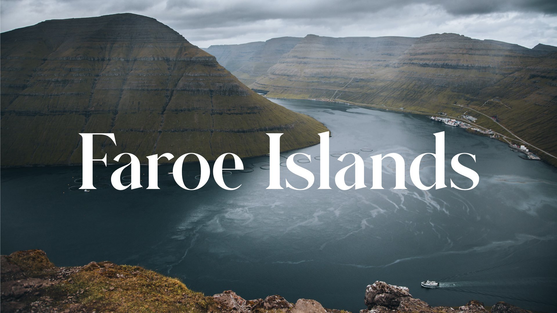
Check out my drone video from the Faroe Islands below!
Featured

Before you decide on what you want to see and how to do it, here are some tips I learned from my time in the Faroe Islands:
The official currency of the Faroe Islands is the Faroese króna. This along with the Danish krone are accepted forms of currency. However, nearly all places in the Faroe Islands take card. Because of this, I didn’t get out ANY cash and it worked out just fine for me.
You can get around using the public transport buses in the Faroe Islands. Upon arriving in the airport, you can pick up an unlimited travel card on these buses for 4 or 7 days (more info here).
If you decide to rent a car (like myself), I HIGHLY recommend booking with Justdrive.fo. The owner’s name is Mike, a fellow Faroese citizen, who helped me every step of the way, especially after all my questions after renting his all electric Fiat 500.
Some of the places that you may be interested in are on private lands. Therefore, a fee is usually required to access these lands which can be done on site or online. For places like Drangarnir and Tindholmur, or the ferry to Mykines, use the website hiking.fo, to book in advance.
They say the Faroe Islands is the ‘land of maybe’, meaning it is heavily weather dependent on if things are happening or not. I learned this first hand with the cancelled ferries to Mykines the day of departure. Also, if it is raining, they say just wait 5 minutes, and the weather could change.
The Faroese people in my experience were incredibly kind people. From just exchanging smiles to whole conversations, I felt extremely welcomed by them and their hospitality.
There is no freedom camping in the Faroe Islands. You must be at a proper campsite, of which there are plenty scattered across the country.
I decided to stay in Vagar, just a few miles away from the airport and use that as my ‘home base’. It is not centrally located but I liked the convenience of getting back to the airport on my last day there in a timely fashion. You can also choose to stay in the capital of Torshavn or the second largest city of Klaskvik, but I imagine that accommodation there will be more expensive.
In this blog post, I will give a summary of each island in the Faroes. A Google Map of these places I will talk about can be seen at the end of this article. (Use the links above or click on each island name below to go to its specific blog post).
If you like some of my photos that you have come across, just know that I have many prints showcasing a variety of landscapes, including Faroe, available for purchase below! (Sold as Posters, Canvas, or in Metal-Frames and Wooden-Frames).




How to get to the Faroe Islands
The Faroe Islands are a stunning and remote archipelago located in the North Atlantic, known for their dramatic landscapes, colorful villages, and rich Viking heritage. Planning your trip here involves choosing the best flights and transportation options to reach the islands' main hub, Tórshavn, on the island of Streymoy. Here’s everything you need to know about how to get to the Faroe Islands easily and efficiently.
The Faroe Islands are served by one international airport: Vágar Airport (FAE), located on the island of Vágar, about 45 minutes by car from Tórshavn, the capital.
Major Airports to Fly From:
Copenhagen Airport (CPH), Denmark – The main international gateway to the Faroes, with several daily flights.
Billund Airport (BLL), Denmark – Seasonal flights available.
Edinburgh Airport (EDI), UK – Seasonal flights during summer.
Reykjavik Keflavik Airport (KEF), Iceland – Seasonal flights operated by Atlantic Airways.
Airlines Serving Vágar Airport:
Atlantic Airways (the national Faroese carrier) operates flights from Copenhagen, Edinburgh, and Reykjavik.
SAS offers flights mainly from Copenhagen.
Widerøe and other Scandinavian regional airlines have seasonal connections.
Flight Duration Examples:
Copenhagen (CPH) to Vágar (FAE): approx. 1 hour 45 minutes
Reykjavik (KEF) to Vágar (FAE): approx. 1 hour 15 minutes
Edinburgh (EDI) to Vágar (FAE): approx. 2 hours
Vágar
(Blog Post: A Journey to the Faroe Islands: The Island of Vágar)
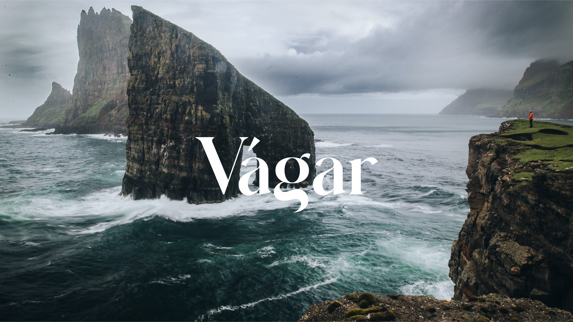
Vágar island of the Faroese archipelago is one of the ‘large islands’ and its general shape resembles a dog’s head (so they say). Since the airport is located on this island, it is the first taste of the Faroe Islands that tourists get. This airport served as an airfield during World War II and was used by the British, with the consent of the islanders. The airport was then modernized and commercialized for use in later years. It’s also a great island to start your Faroe Islands road trip adventure. Places of interest include:
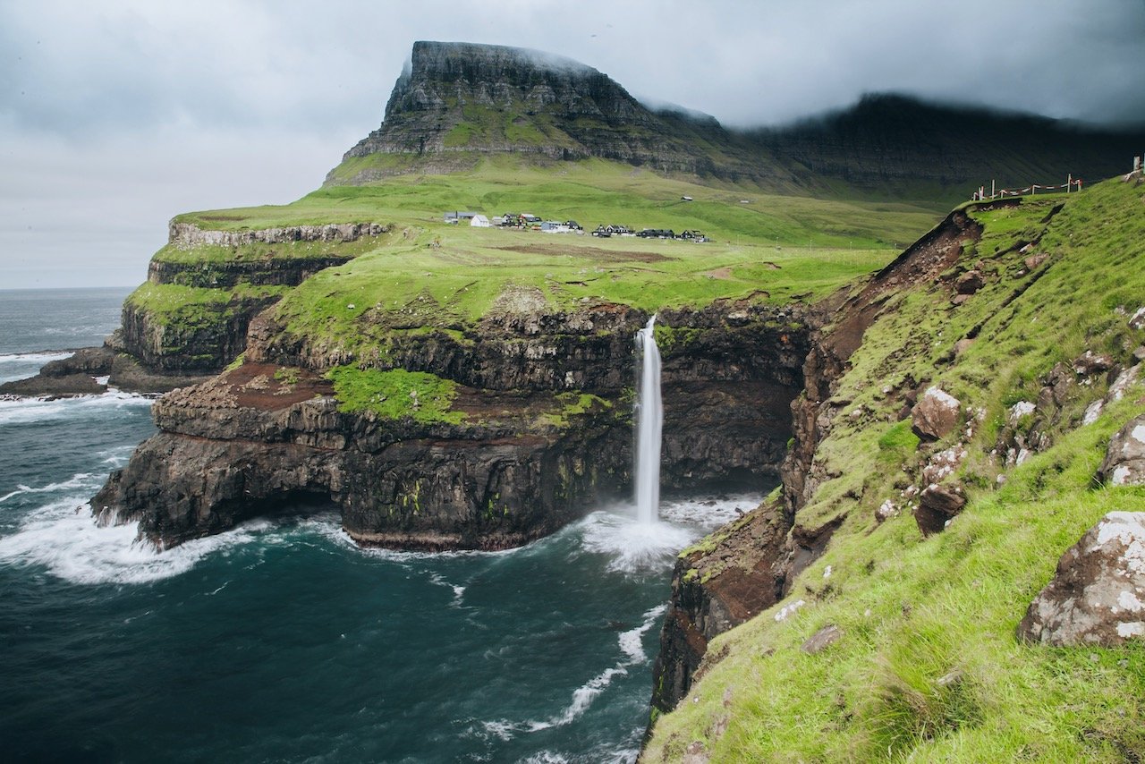
Gasadalur, Bøur, and Sandavágur villages
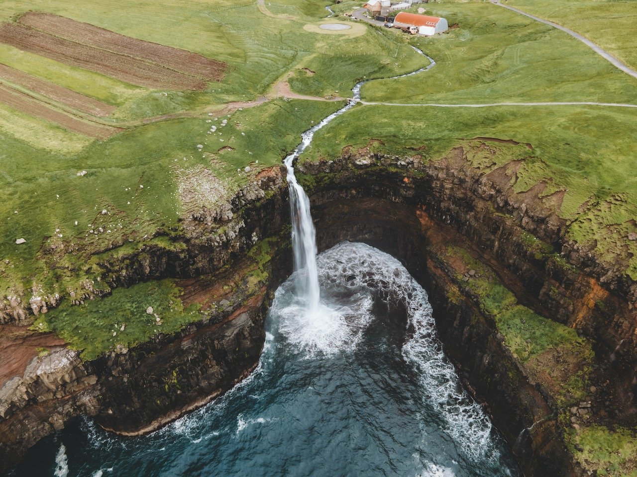
Bøsdalafossur, Múlafossur, and Skarðsáfossur Waterfalls
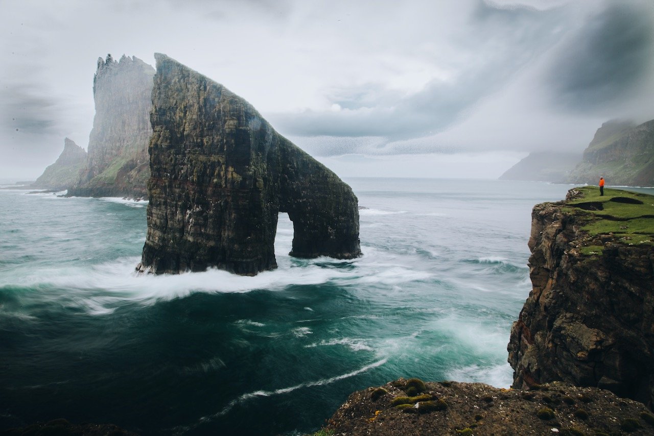
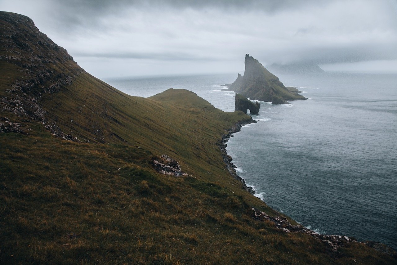
Dunnesdranger and Witches Finger Trail (Trøllkonufingur) sea stacks
Trælanípa (Slave Cliff) and Drangarnir/Tindhólmur Hikes
Streymoy
(Blog Post: A Journey to the Faroe Islands: The Island of Streymoy)
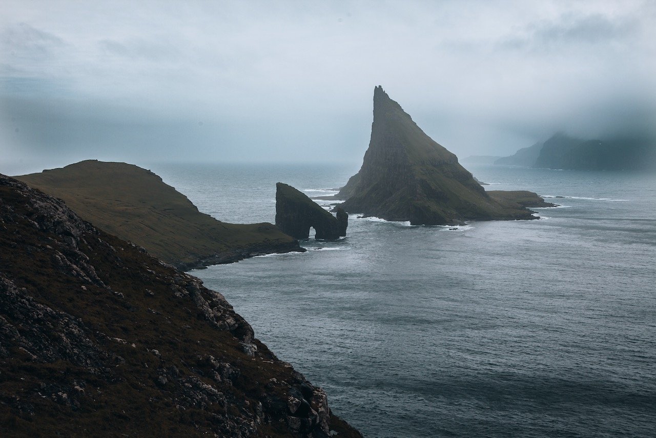
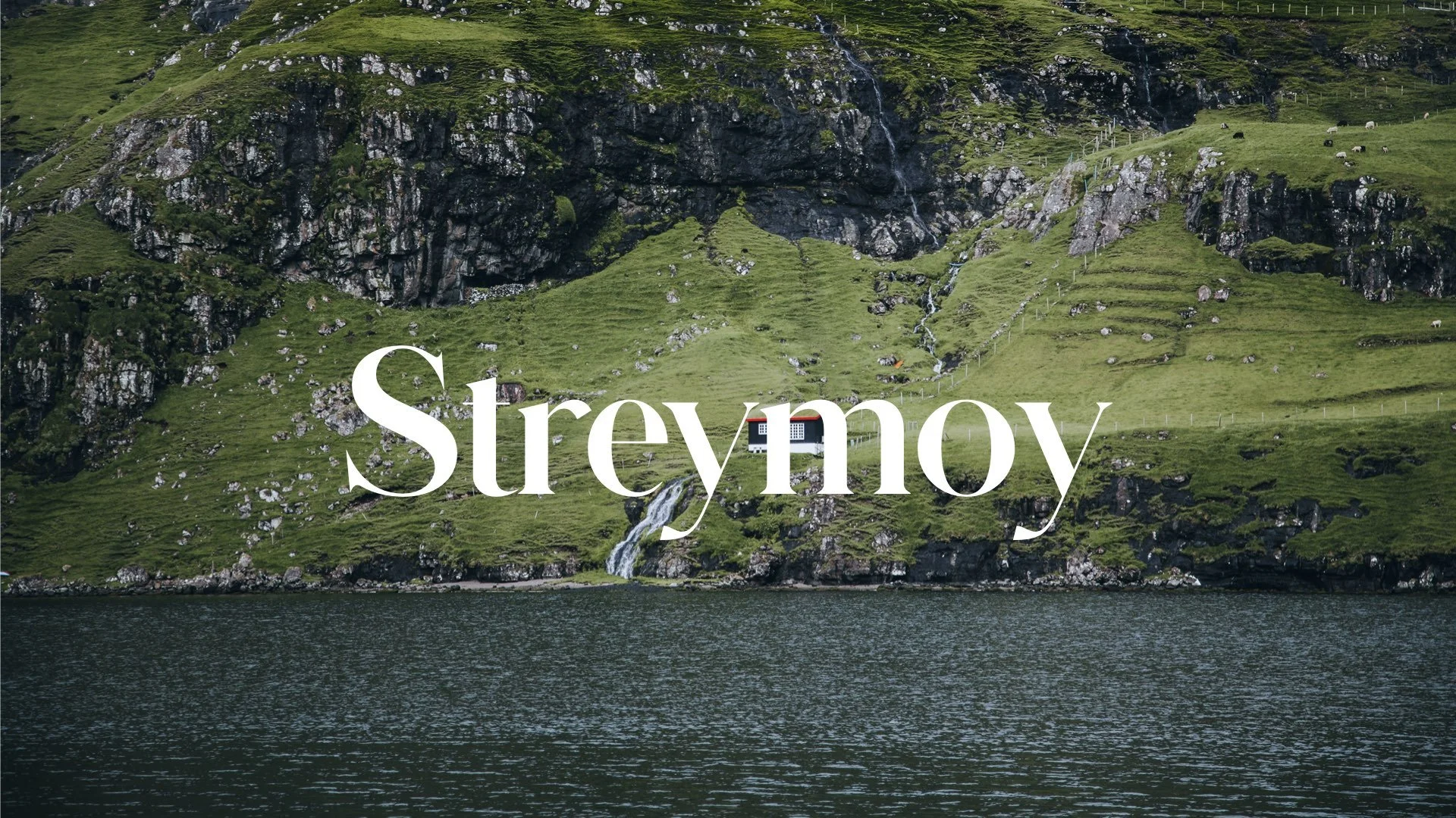
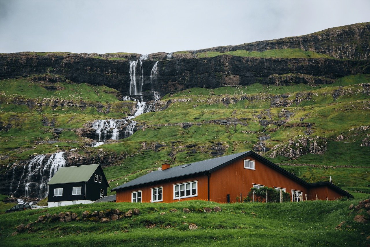
The island of Streymoy bears most of the Faroese population, most of them centered around the capital city of Tórshavn on the southeast coast. Streymoy translates to ‘island of currents', presumably because this area also includes the islands of Hestur, Nólsoy, and Koltur (all a part of the Tórshavn Municipality).
The north of Streymoy is known for its mountains, in an area called Vestmannabjørgini (‘Cliffs of Vestmanna’). There are also a number of beaches spread out along the coastline of this island. What you won’t find much of on Streymoy though is trees, which is a common sight (or lack thereof) in all of Faroe. Places of interest include:
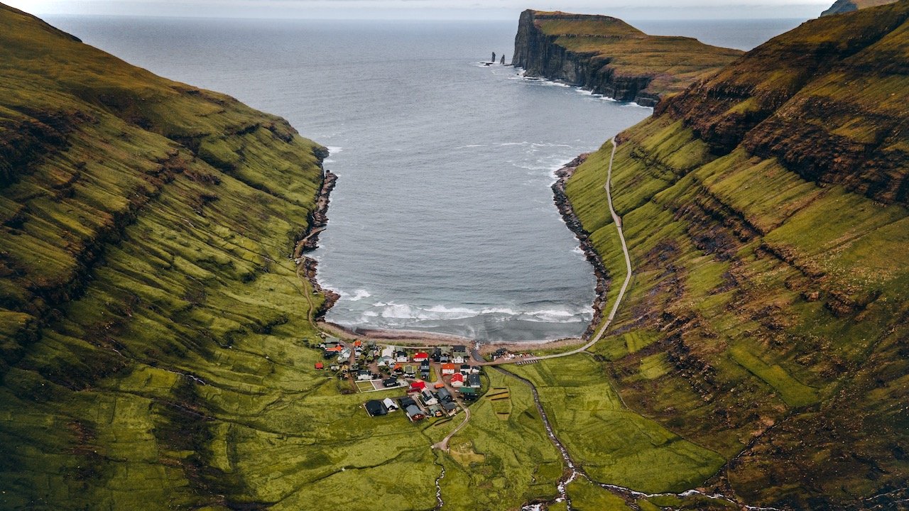
Saksun, Tjørnuvik, and Kvivik villages
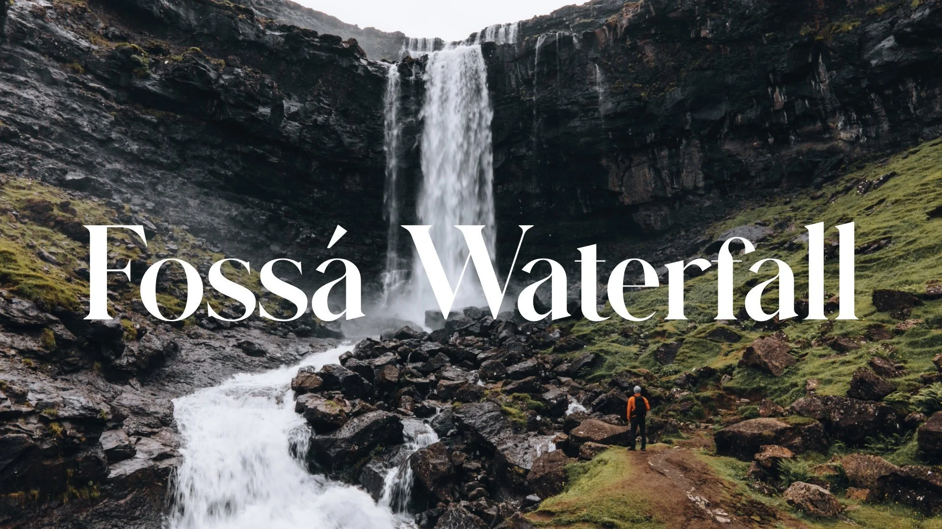
Fossá, Kluftáfossur, and Svartafoss Waterfalls
The Capital City of Tórshavn
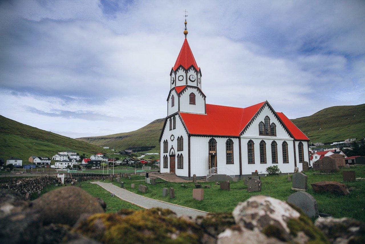
Saksun Church, Tórshavn Cathedral, and Magnus Cathedral (Kirkjubømúrurin)
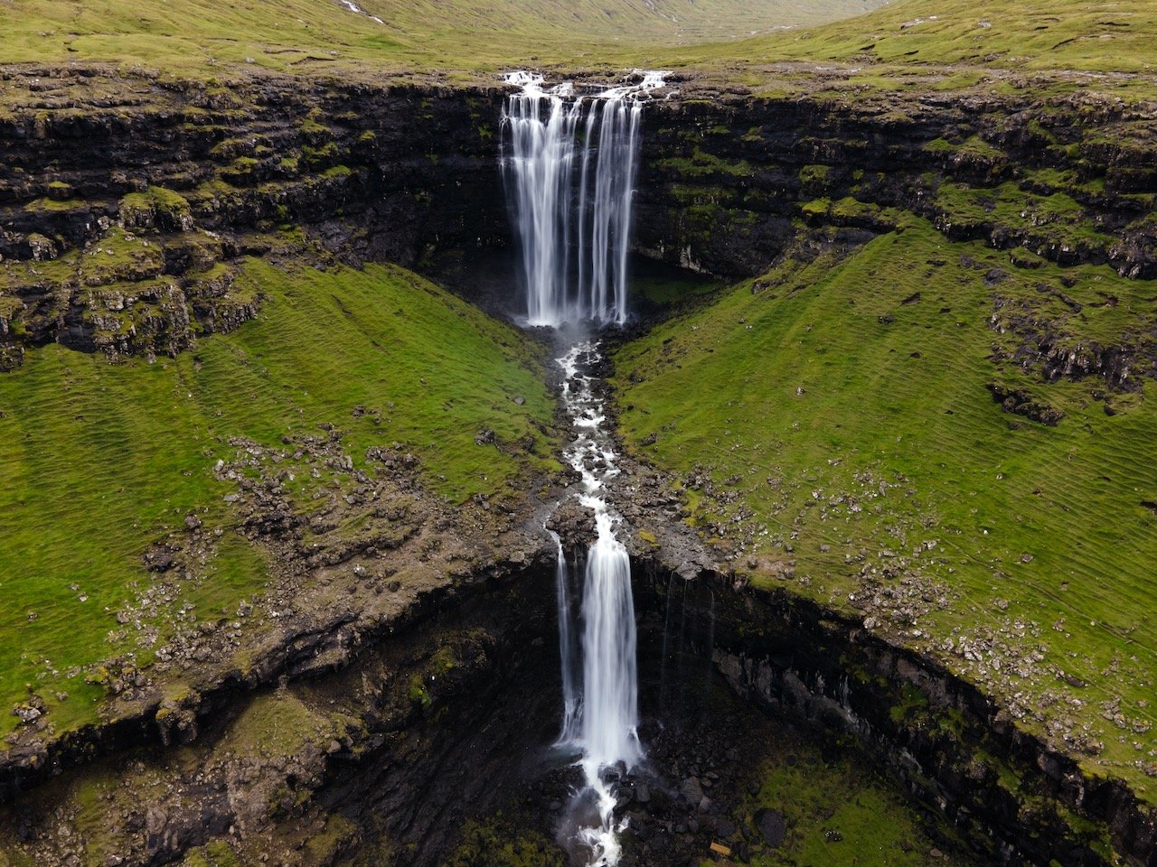
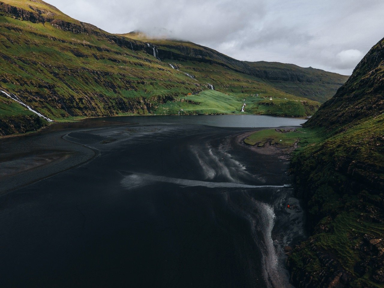
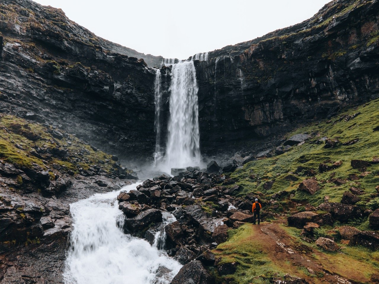
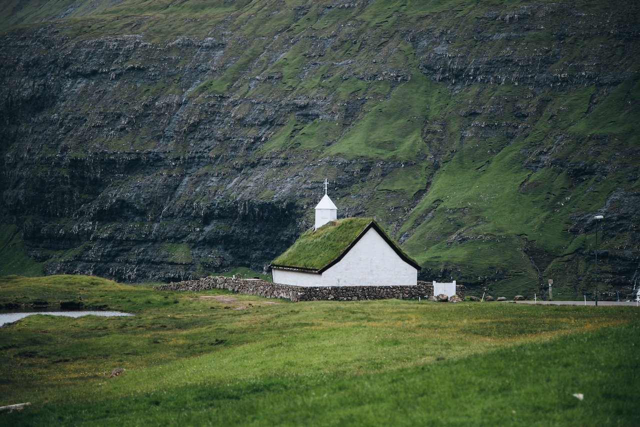
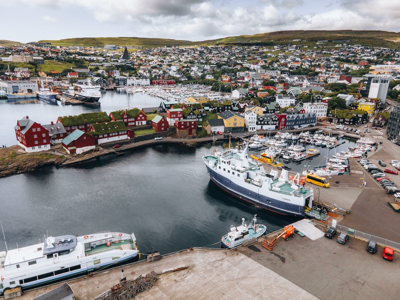
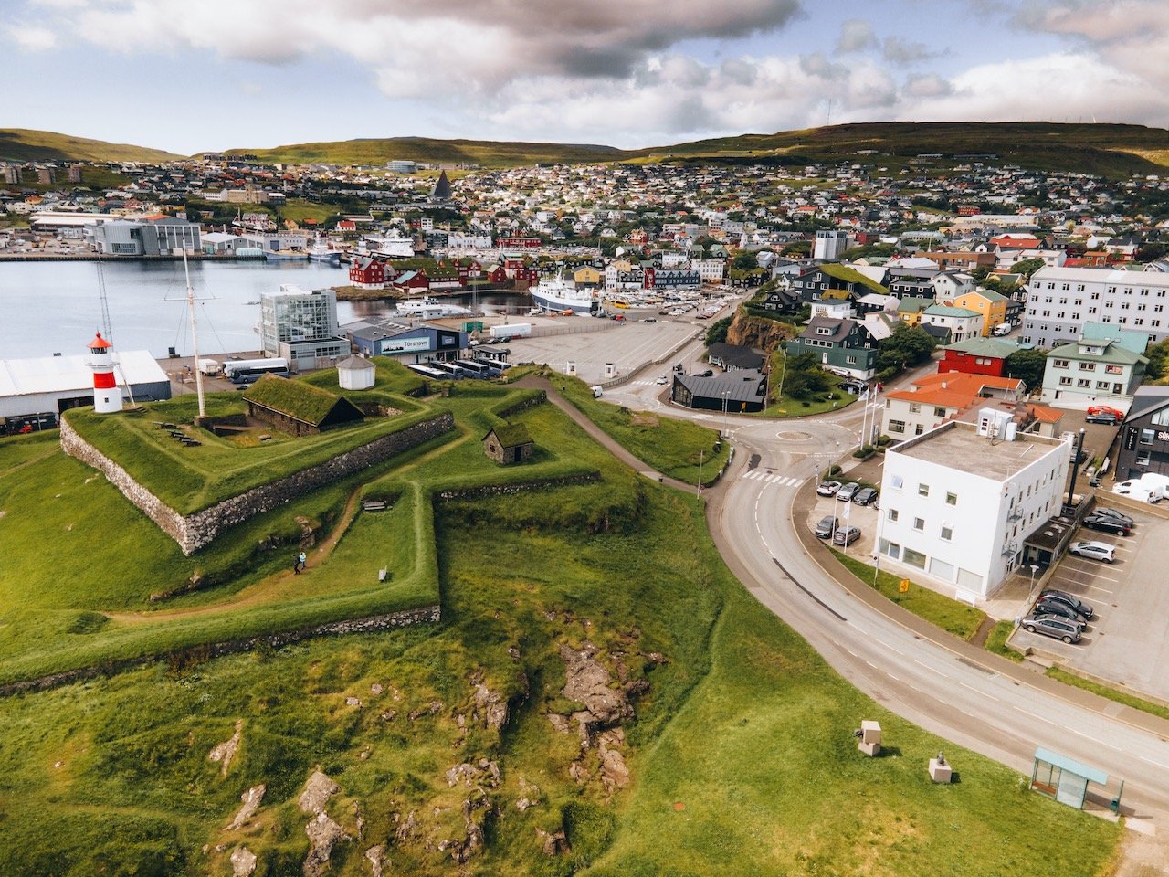
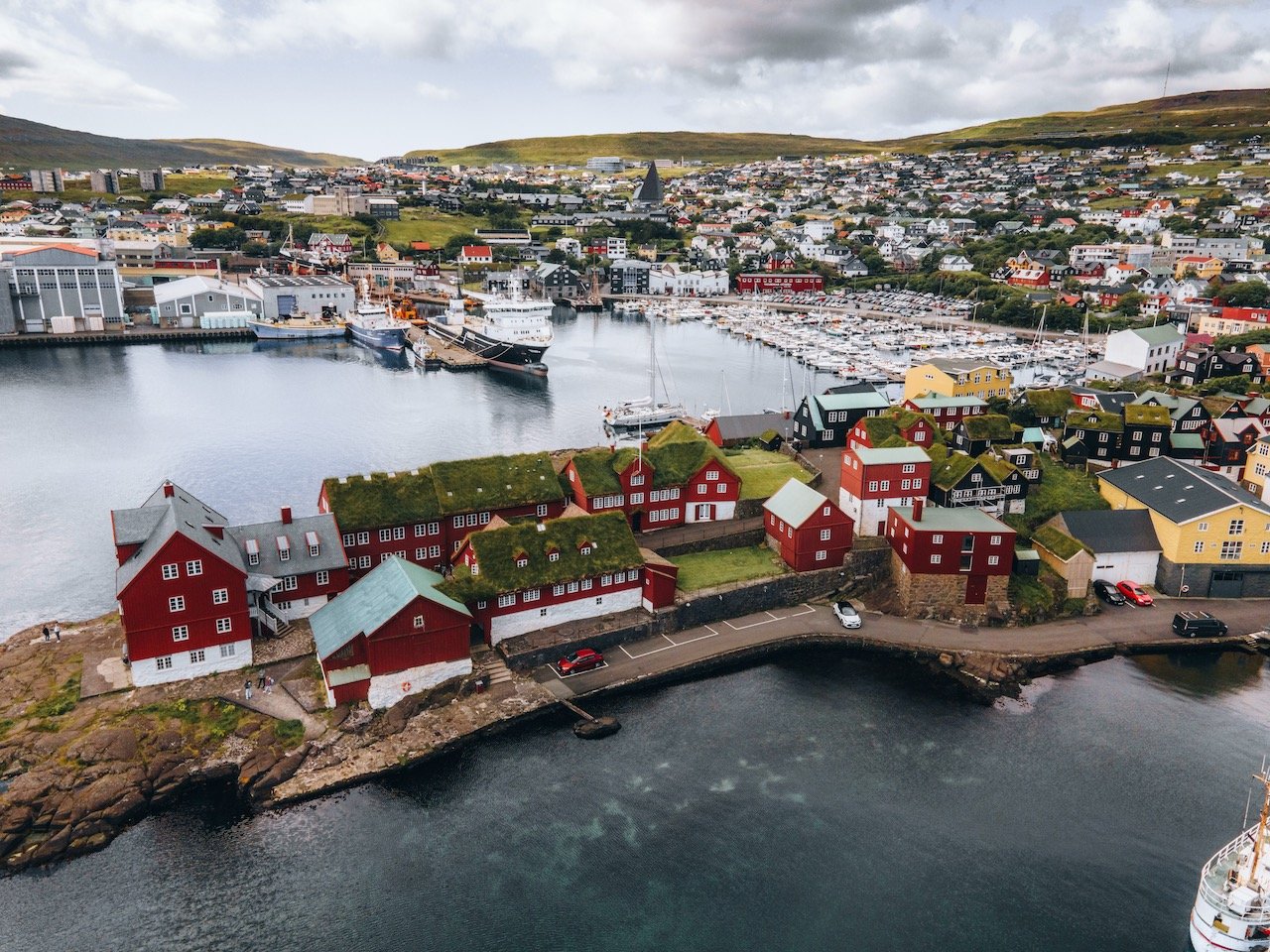
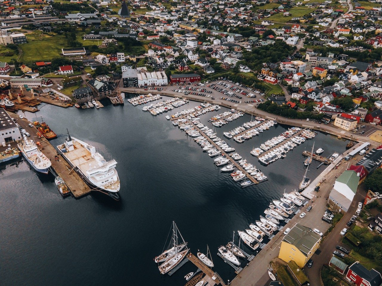
Tórshavn
(Blog Post: A Journey to the Faroese Capital of Tórshavn)
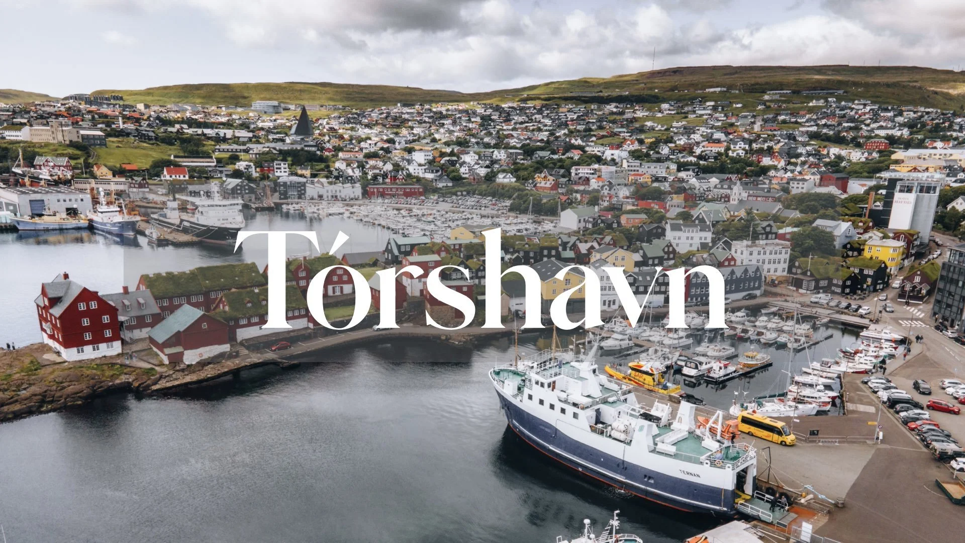
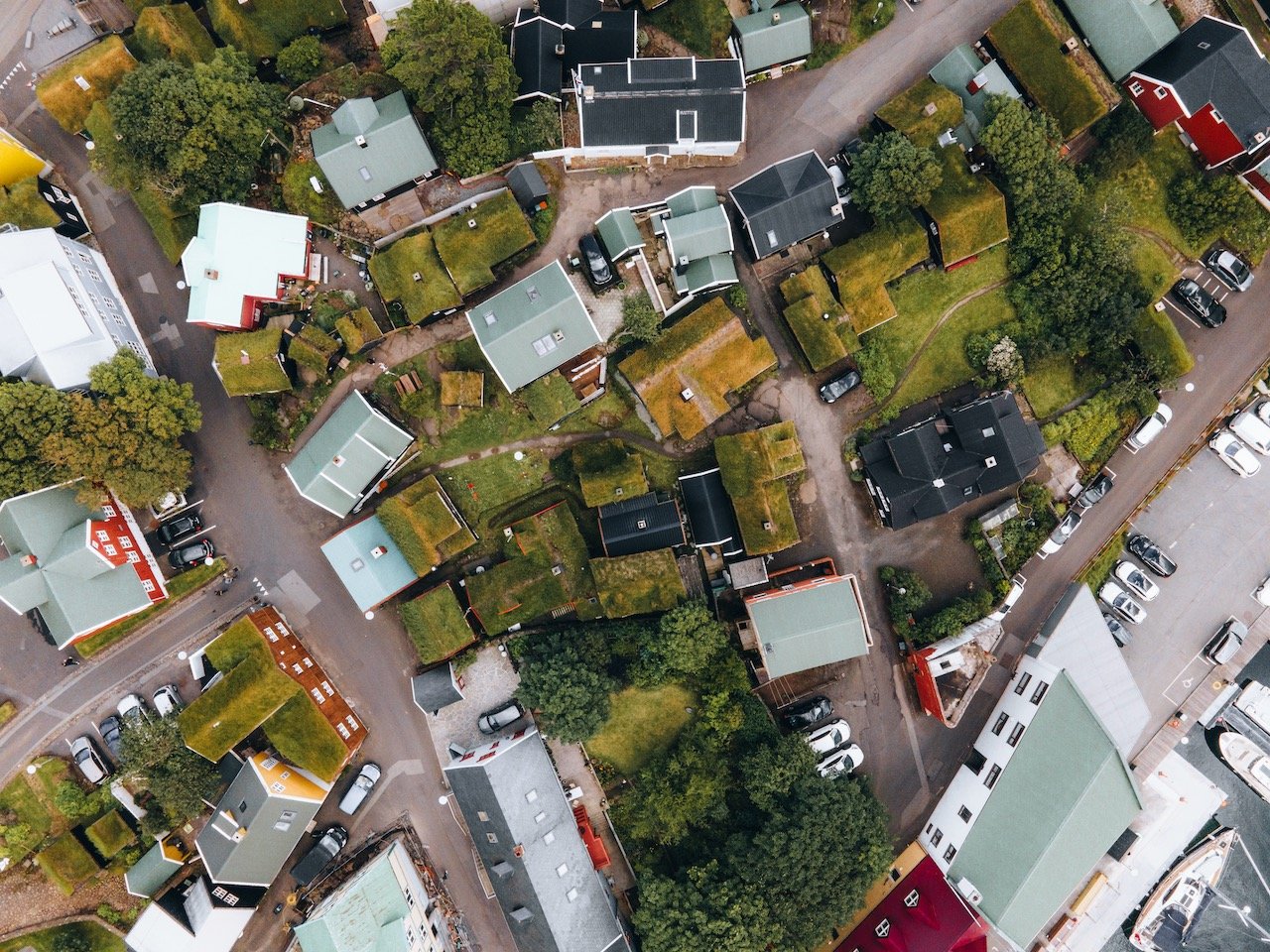
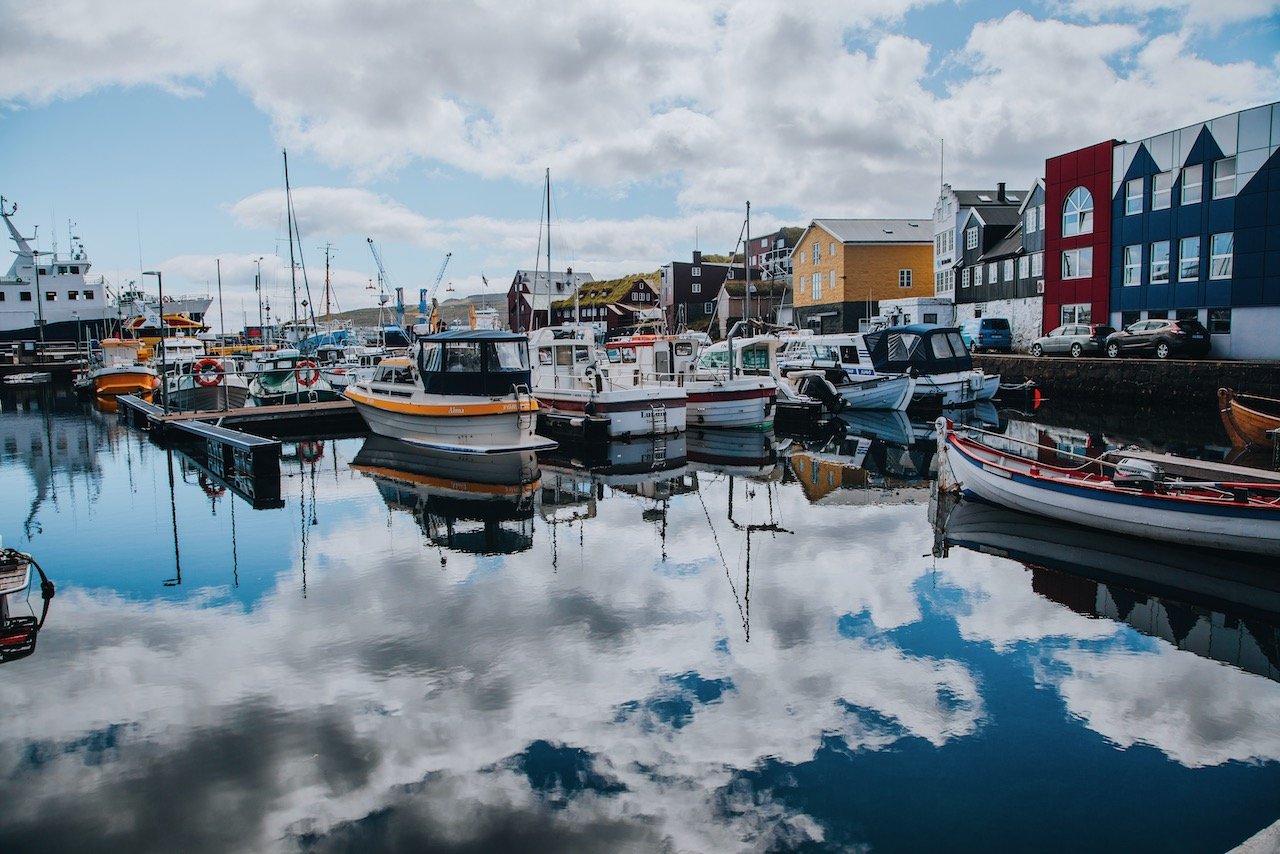
Tórshavn is the capital of the Faroe Islands and obviously, the country’s most populous city at 21,000. This is roughly 40% of the total Faroese population and is located on the island of Streymoy. Tórshavn is easily reached from all parts of Faroe using Bus 300 or 350 (depending on which direction you are heading/coming from). Furthermore, once you arrive in Tórshavn, you can rely on the local bus network to get through the town (though the town is easily walkable). This was done to encourage the population and tourists to use public transport instead of driving and adding congestion to the Faroese capital (Bus Schedule and Map here). Places of interest include:
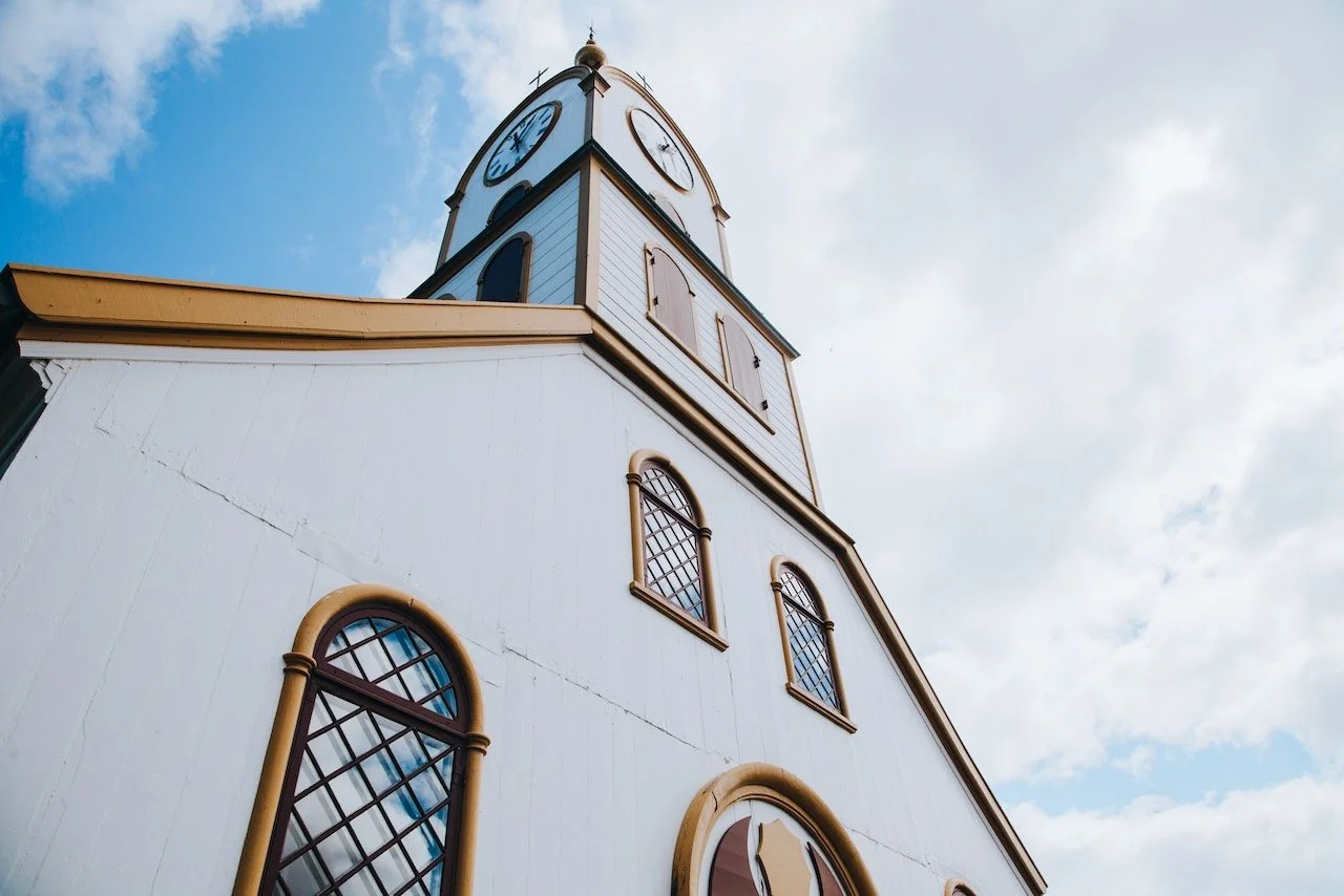
Vesturkirkjan and Tórshavn Cathedral
Svartafoss Waterfall
Skansin Fort and Lighthouse
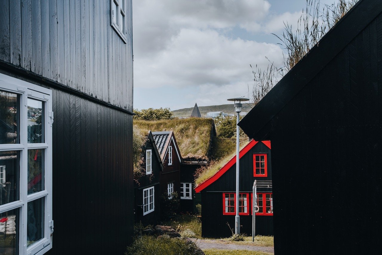
Tórshavn Old Town and Tinganes Peninsula
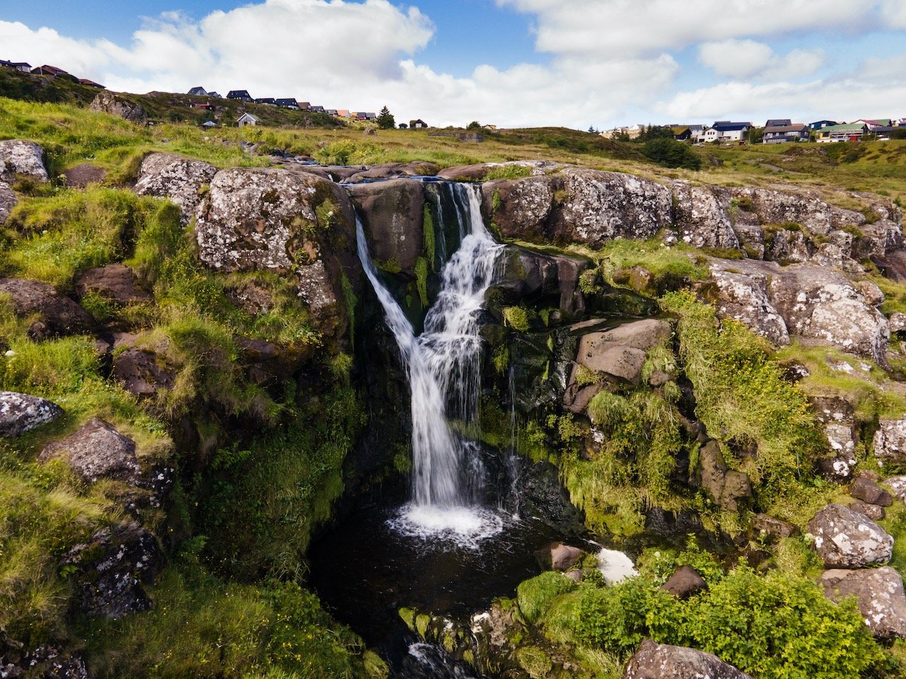
Eysturoy
(Blog Post: A Journey to the Faroe Islands: The Island of Eysturoy)
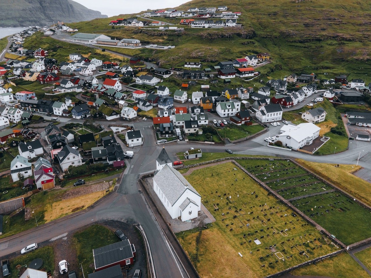
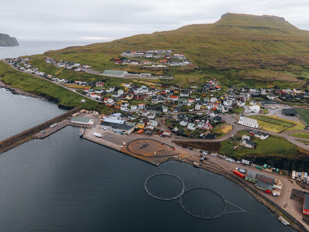
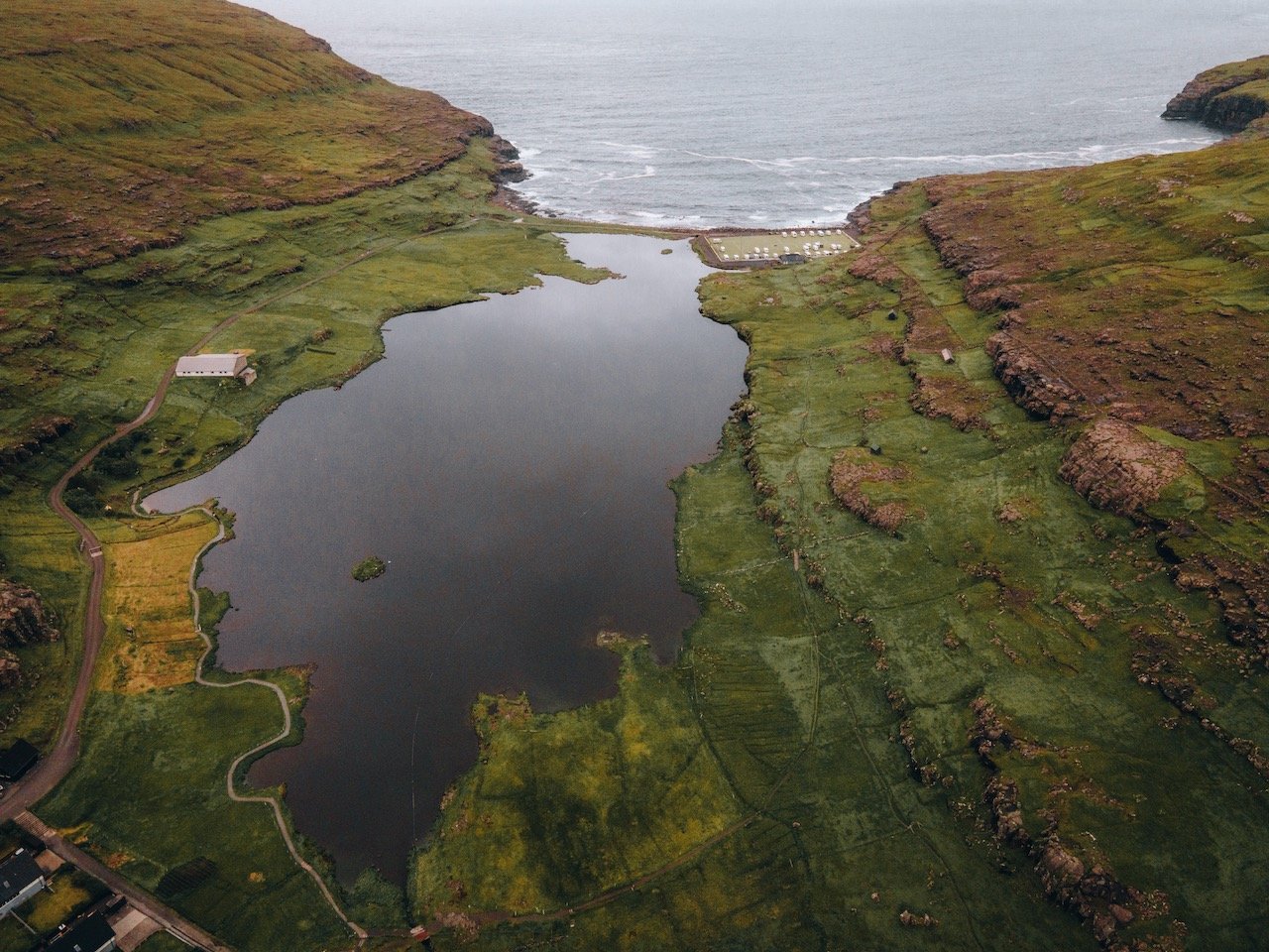
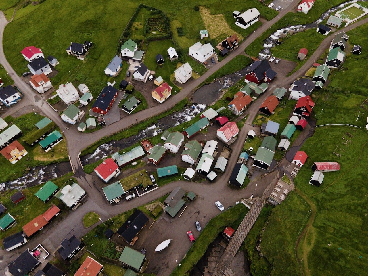
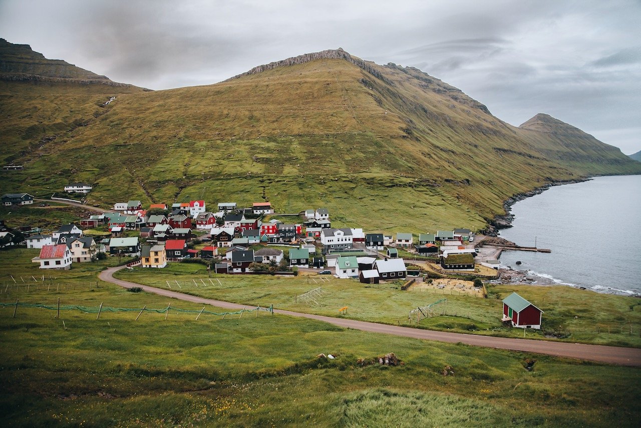
Eysturoy is one of the more mountainous islands in Faroe, with 66 separate peaks, the tallest being Slættaratindur. The fjords of Skálafjørður and Funningsfjørður nearly split the island into two. You can access this island by the Streymin Bridge from Eysturoy. It is also accessible via the Eysturoyartunnilin (the Eysturoy Tunnel) with direct access to the capital Tórshavn. You can explore this island in a day, checking out some of the towns, mountains, and natural formations most easily with a car. Places of interest include:
Gjógv, Eidi, and Funningur villages
Funnings and Eidi Churches
Slættaratindur - the tallest mountain in the Faroe Islands
Risin og Kellingin sea stacks

Kalsoy
(Blog Post: A Journey to the Faroe Islands: The Island of Kalsoy)
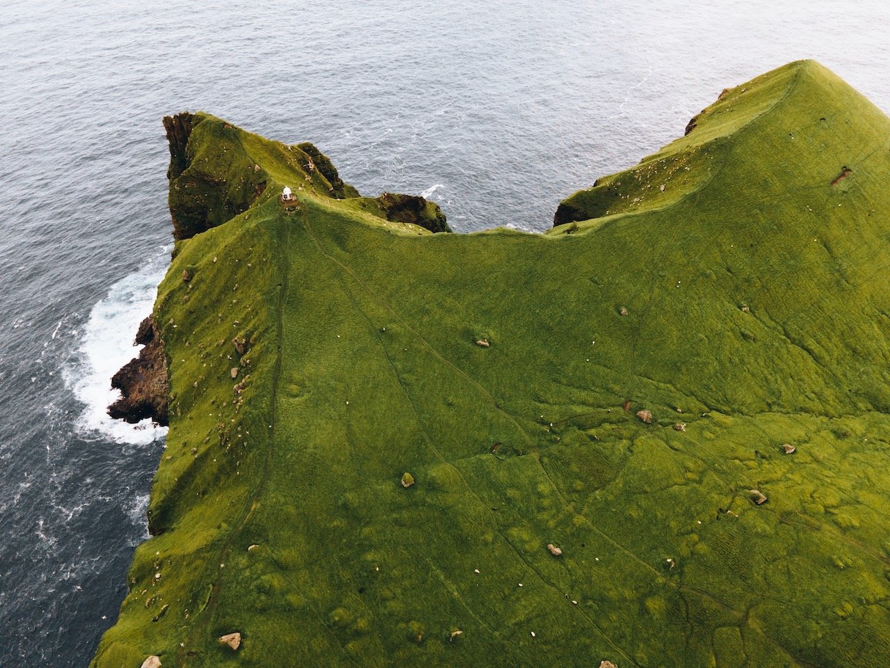
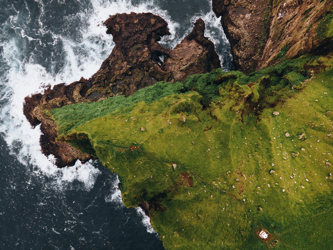
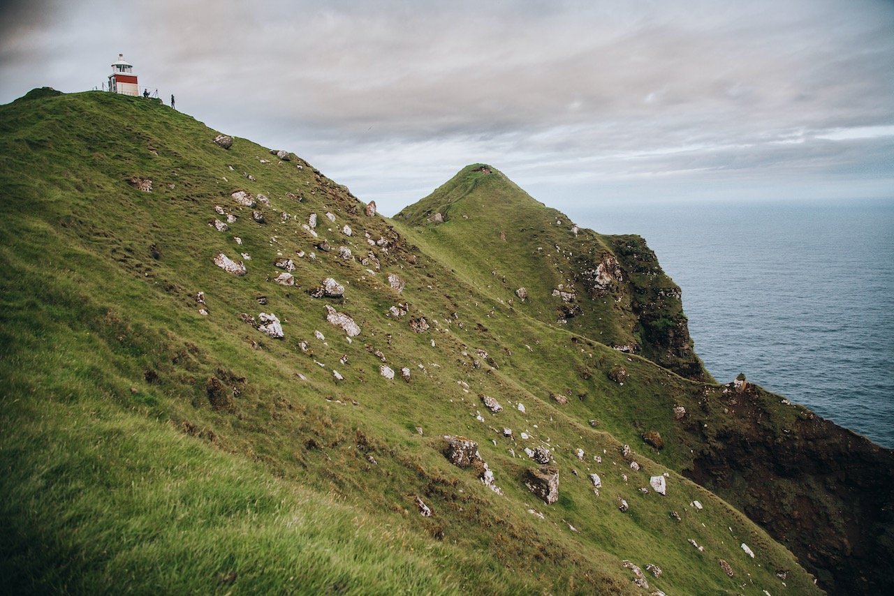
Kalsoy is located in Northeast Faroe Islands and only accessible by boat. Its name translated to ‘man island’ (neighboring Kunoy island translates to ‘woman island’). The island is long and narrow and the population is spread out over a small number of villages. There is a ferry service from Klaksvik to Sydradalur (a village on Kalsoy) multiple times a day (ferry schedule here). Places of interest include:
Húsar, Sydradalur, and Trøllanes villages
Kallur Lighthouse
Bordoy
(Blog Post: A Journey to the Faroe Islands: The Island of Bordoy)
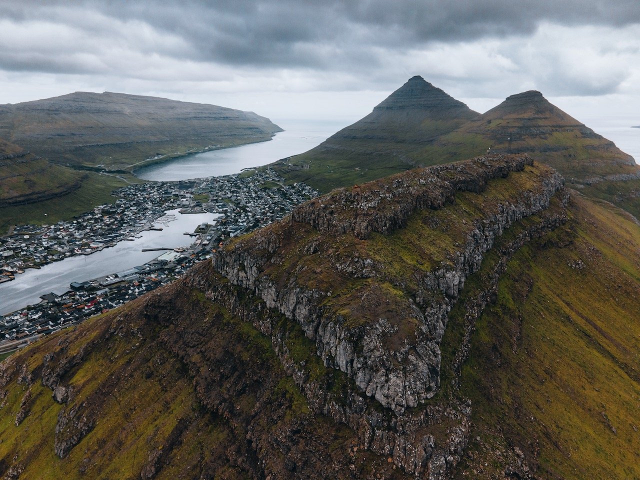
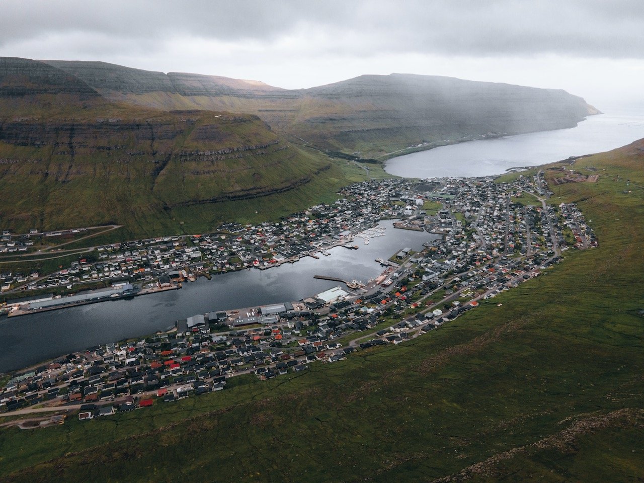
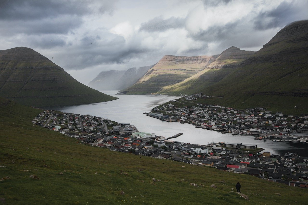
Bordoy island is located in the Northeast of the country, and translates to ‘Headland Island’. It contains 8 total settlements and the 2nd largest city in the Faroe Islands in Klaksvík. This portion of the Faroe Islands is often referred to as the Northern Islands. Places of interest include:
the city of Klaksvik
Klakkur Hike
Føroya Bjór, a Faroese brewing company
Christian’s Church (Christianskirkjan) and Árnafjardar Church
Vidoy
(Blog Post: A Journey to the Faroe Islands: The Island of Vidoy)
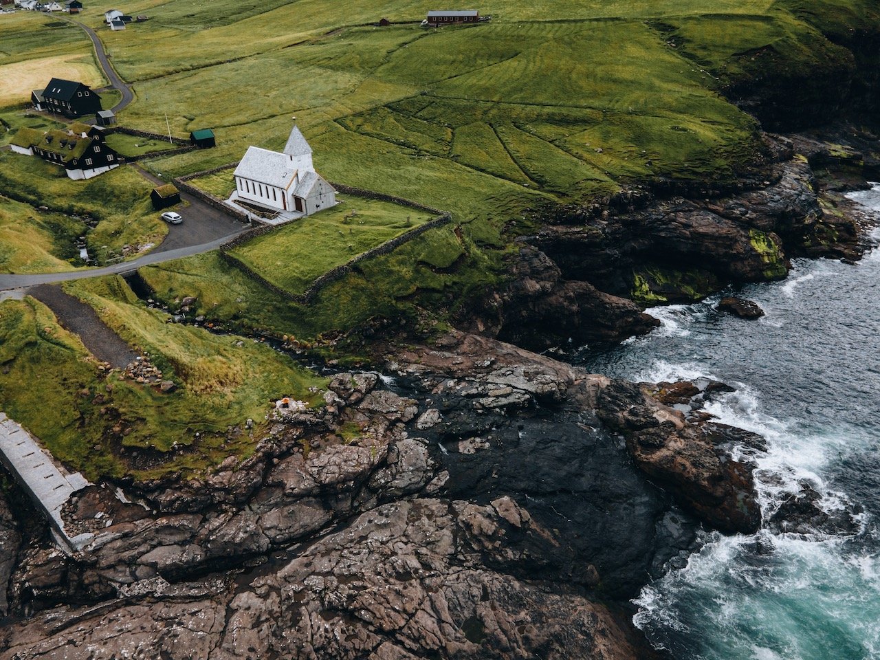
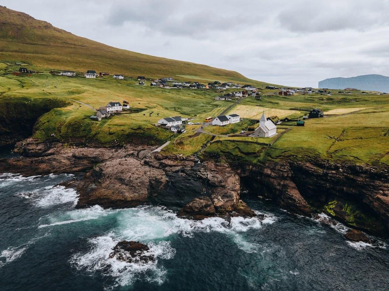
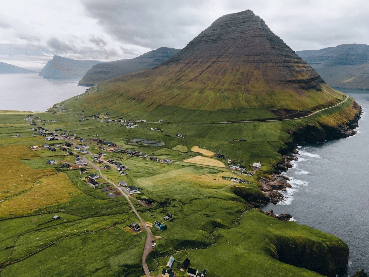
Vidoy is located to the east of Bordoy island and is the northernmost island in the Faroe Islands. It translates to ‘wood island’ even though there are not trees on it. It’s the furthest island away from Vágar that can be reached by car, a bit over 100 km away. Places of interest include:
Hvannasund and Vidareidi villages
Villingardalsfjall and Malinsfjall Mountain Hikes
Hvannasund and Vidareidi Churches

Faroe Islands (ISO 100, 105 mm, f/4, 1/500 s)
Mykines
(Blog Post: A Journey to the Faroe Islands: The Island of Mykines)
Mykines is the westernmost island of the Faroe Islands. It sits in the UTC-1 time zone officially but uses Greenwich Mean Time like the rest of the 17 islands that make up this nation. It is determined that the island was formed 60 million years ago from a series of volcanic eruptions. It is now home to plentiful bird life including puffins. Points of interest include:
Mykines Lighthouse
Mykineshólmur
Ramsar

Faroe Islands (ISO 100, 24 mm, f/4, 1/320 s)
Sandoy
(Blog Post: A Journey to the Faroe Islands: The Island of Sandoy)
Sandoy, translating to ‘Sand Island’, is considered one of the five southern islands in the Faroe islands. The village of Sandur is the largest population center on the island, standing at 532 inhabitants. It is the only island with sand dunes, a product of its sandy soil, of which Sandoy gets its name from. Places of interest include:
Husavik, Dalur, and Sandur villages
Sandskirkja
Sandur Beach
Kunoy
(Blog Post: A Journey to the Faroe Islands: The Island of Kunoy)
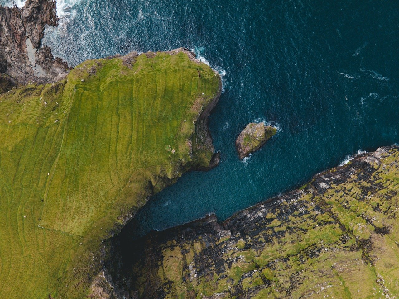
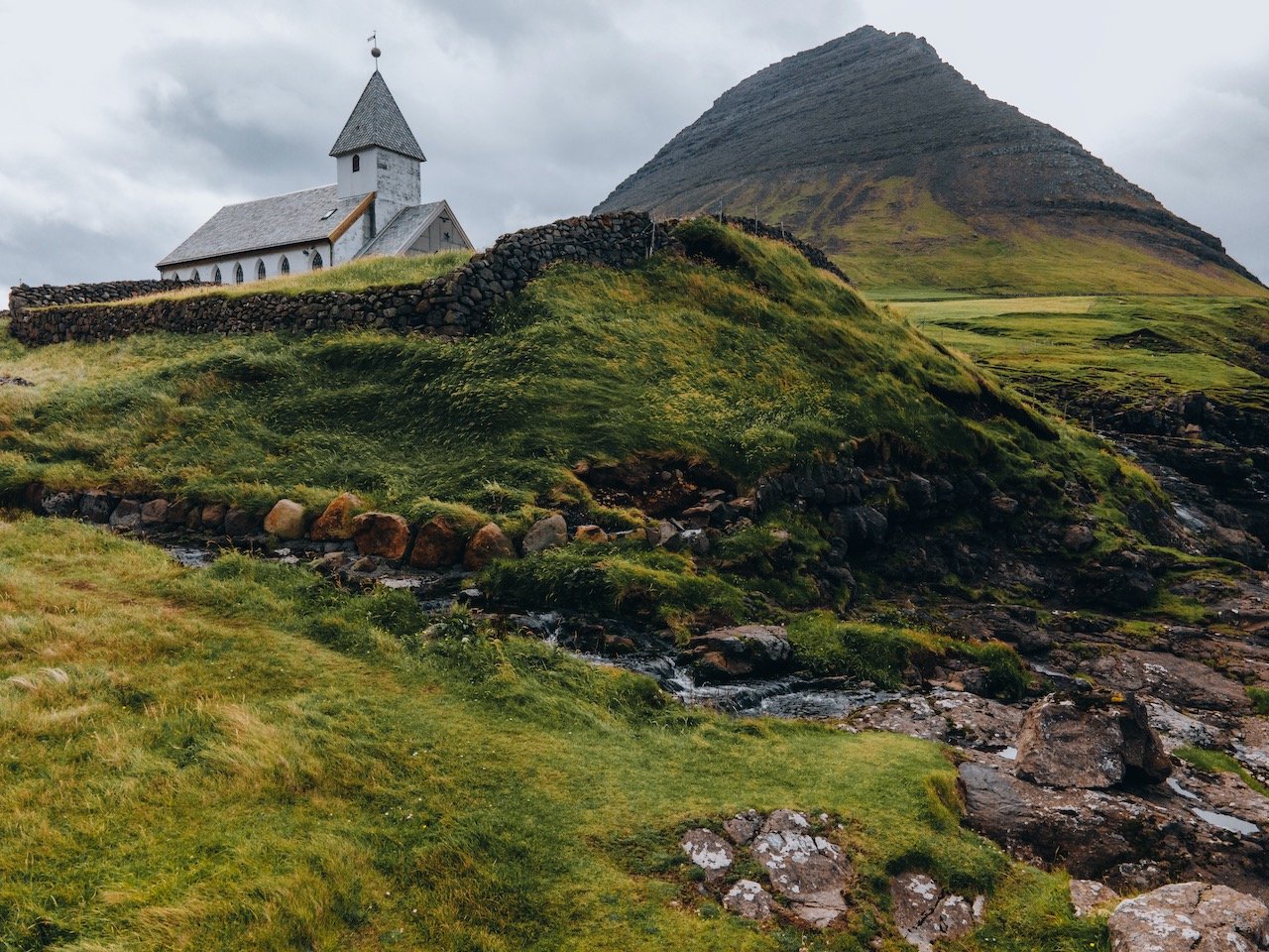
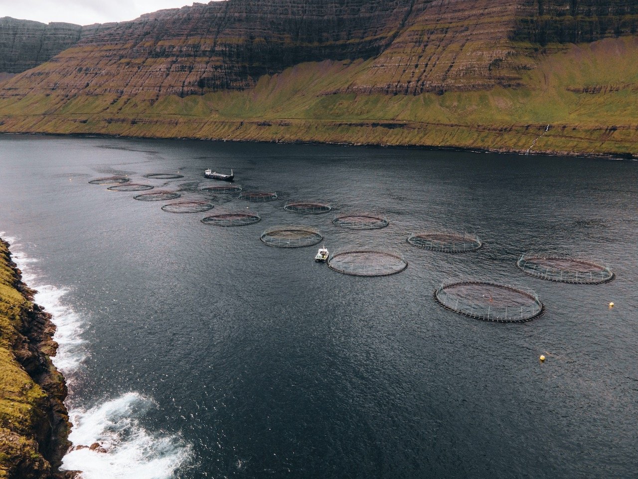
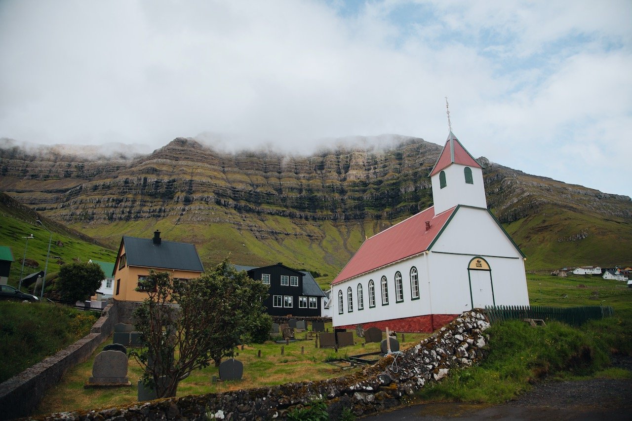
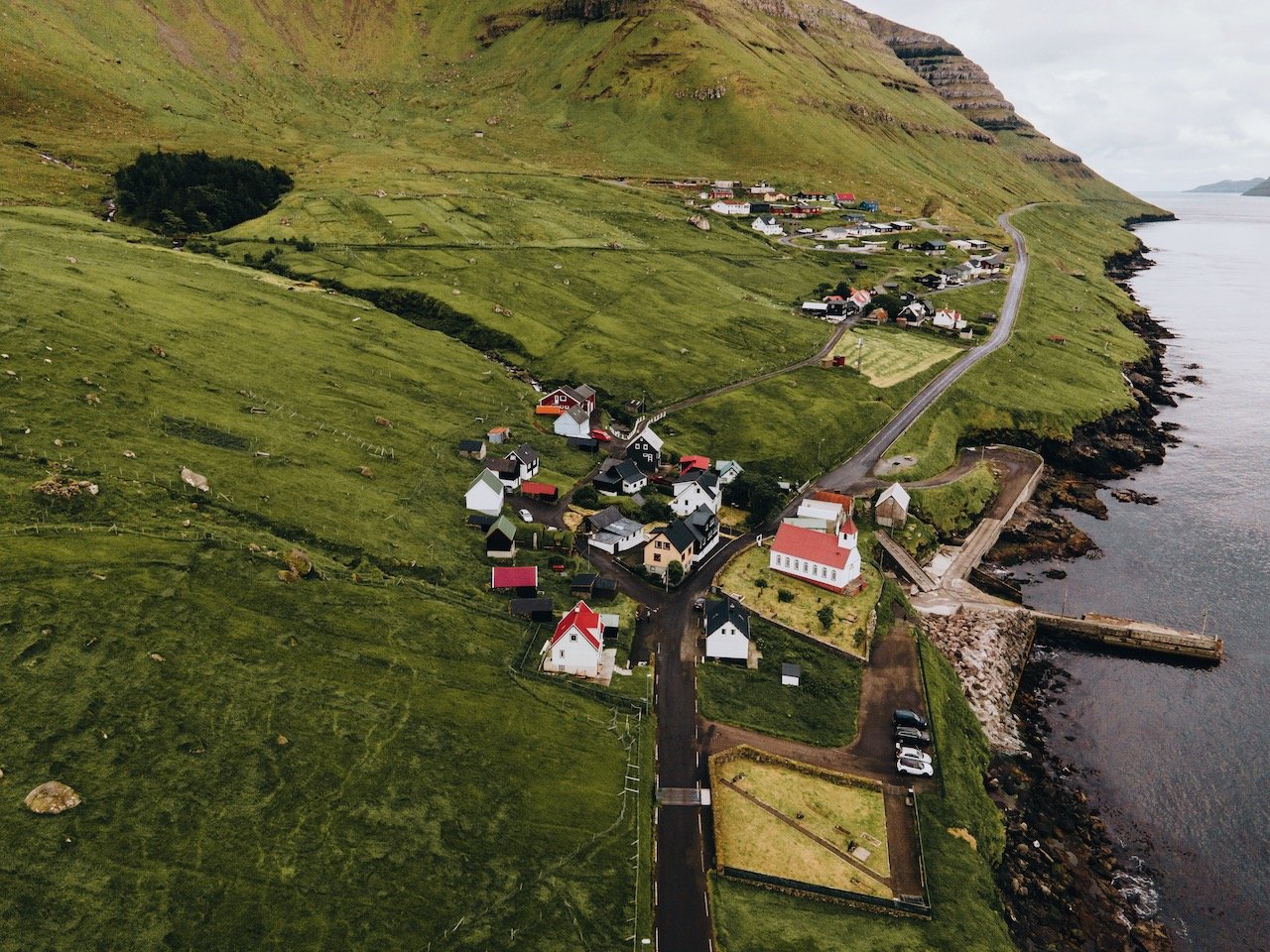
Kunoy is a long and narrow island, accessible by an embankment from Bordoy to Haraldssund. The mountain tunnel once you get only Kunoy is one lane and is also narrow so use caution! Kunoy directly translates to ‘woman island’ and therefore is the colloquial opposite to Kalsoy, meaning ‘man island’. Points of interest include:
Kunoy villages
The Forest of Kunoy (Viðarlundin í Kunoy)
The gorge of Skarðsgjógv
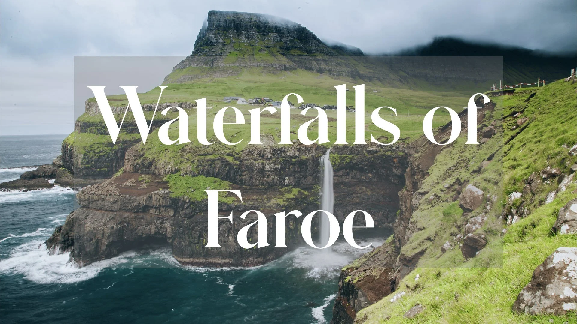
The Waterfalls of the Faroe Islands
(Blog Post: The Waterfalls of the Faroe Islands)
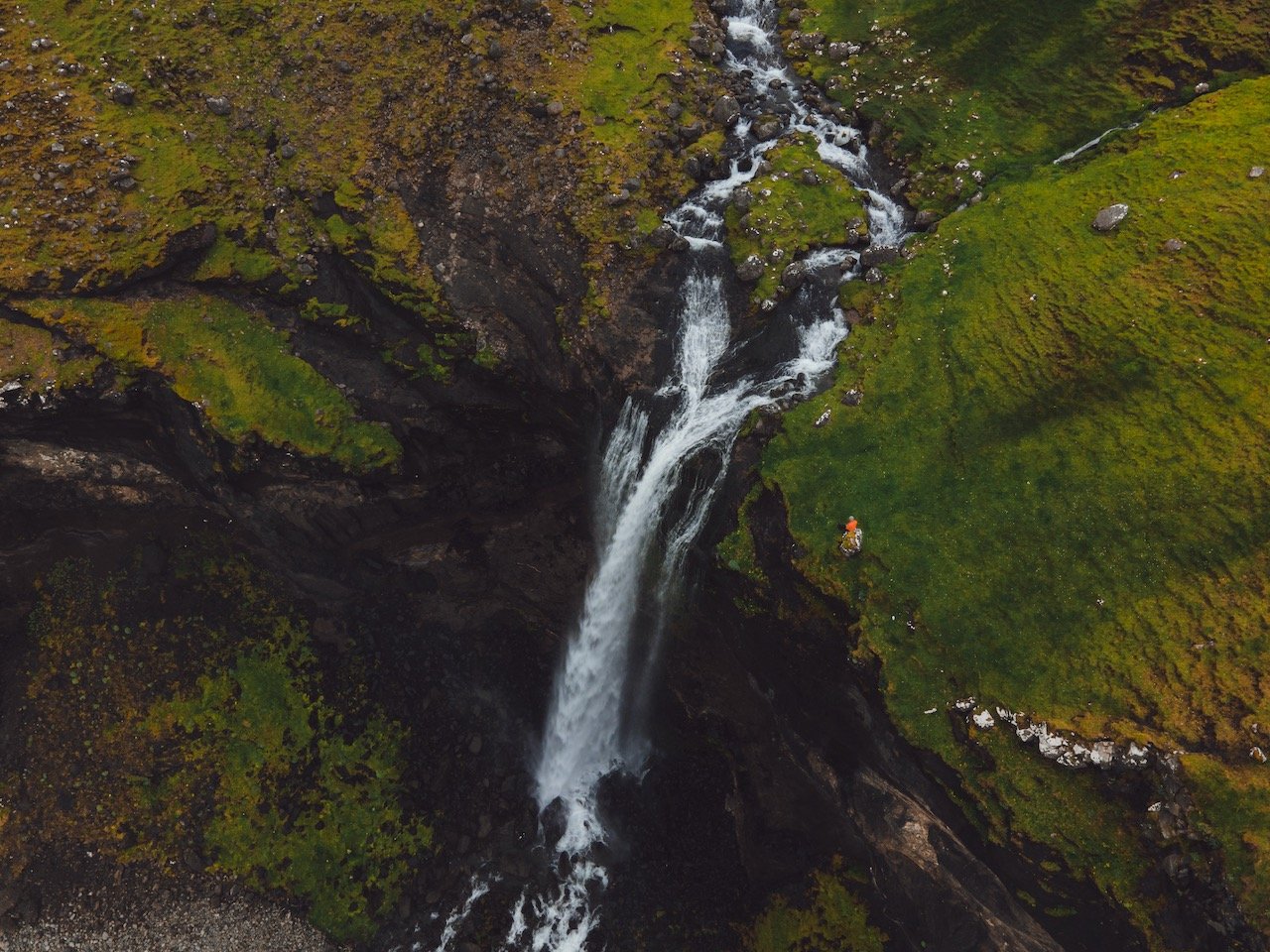
There are a plethora of waterfalls on the Faroe Islands. They are everywhere you look and drive. Some are more spectacular and accessible than others. This is a small guide on which ones are the coolest to see and why they are significant. These waterfalls include Múlafossur, Bøsdalafossur, Fossá, Svartifossur, Skarðsáfossur, Týggjará, Kluftáfossur, and Svartidalurfoss.
Now if you have managed to make it this far and check out what each island has to offer, congrats. I surely hope this post has helped you with planning your trip.
Most of all, I hope I can alleviate some of the anxiety and have answered most of your questions with regards to getting around the Faroe Islands and places of interest that should not be missed. If you have any further questions, please ask in the comments below and I will get back to you! Safe travels!