Following Amsterdam's Canals: Journeys That Shaped the City

Amsterdam is often described through images: narrow houses leaning slightly forward, bicycles locked to iron railings, boats gliding past café terraces. 
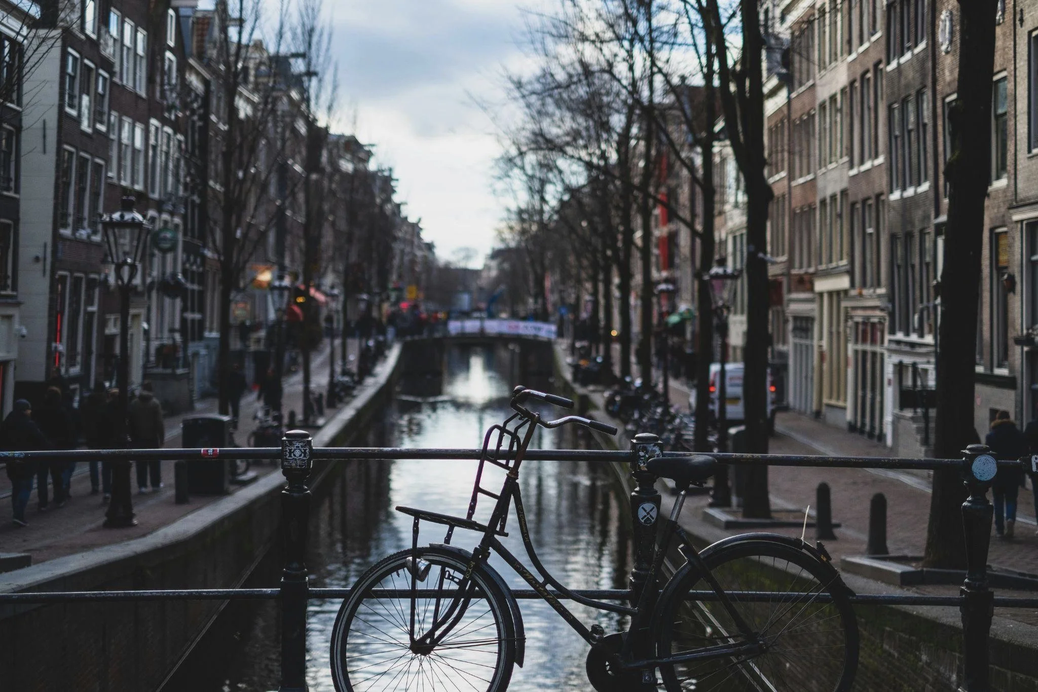
But the city did not emerge from aesthetics or chance. It was shaped by movement — of goods, of people, of ideas — all guided by a carefully engineered canal system that remains one of the most deliberate urban projects in European history.

Long before the canals became postcard material, they were infrastructure in the most serious sense. They decided how Amsterdam would grow, who would profit, where power would sit, and how the city would survive both prosperity and collapse. 

To follow Amsterdam’s canals is to trace the journeys that built its economic muscle, cultural confidence, and stubborn independence.

Water as Strategy, Not Decoration

The canals were never meant to charm. Their curves, widths, and intersections followed calculations rooted in trade, defense, and control. When the city expanded rapidly during the late 16th and early 17th centuries, Amsterdam’s leaders faced a practical problem: growth without chaos.

The solution became the Grachtengordel — the canal ring — now a UNESCO World Heritage site, but originally a logistical blueprint.

Before becoming symbols of elegance, these waterways functioned as arteries for a rising mercantile power.

The Canal Ring and the Golden Age Blueprint

Construction of the Herengracht, Keizersgracht, and Prinsengracht began in earnest around 1613, at the height of the Dutch Golden Age. The plan was radical in its discipline. Each canal served a defined role: the inner rings reserved for wealth and governance, the outer stretches accommodating artisans, warehouses, and workers.

Merchants built houses that doubled as businesses. Goods arrived by boat directly at cellar-level doors, lifted by beams still visible on many façades today. The canals reduced reliance on carts, eased congestion, and allowed Amsterdam to move cargo faster than many competing ports.

The precision of the canal ring was not accidental. City planners imposed strict building regulations, controlling plot width, height, and usage. This early form of zoning shaped Amsterdam’s social geography for centuries.

Commerce Flowing on Water

Ships arriving from the Baltic, Iberian Peninsula, and later Asia via the Dutch East India Company unloaded spices, timber, grain, and textiles into a city designed to absorb them efficiently. The canals connected docks to markets, counting houses, and storage facilities with minimal friction.

This water-based logistics network allowed Amsterdam to dominate European trade despite lacking natural resources. Wealth accumulated not through extraction, but through movement and coordination. The canals were the physical manifestation of that philosophy.

Journeys of People, Not Just Goods

Trade did more than enrich Amsterdam. It pulled people into the city from across Europe and beyond. The canals became pathways not only for merchandise, but for migration, refuge, and reinvention. Religious minorities, skilled craftsmen, and intellectuals found space along the waterways, reshaping the city’s social fabric.

Those same routes that once carried families arriving with little more than contacts and skills now carry visitors moving at a slower pace. Today, Amsterdam’s canals are also experienced through river and canal cruises, offering a layered view of the city’s past — passing former merchant houses, warehouses, and neighborhoods that grew precisely because water made arrival possible. The appeal of these journeys lies not only in scenery, but in tracing the same corridors that once defined opportunity and belonging.

Migration, Tolerance, and the Inner City

In the 17th century, Amsterdam absorbed waves of Sephardic Jews fleeing the Iberian Inquisition, Huguenots escaping France, and merchants displaced by war elsewhere in Europe. Many settled near the canals, opening businesses, workshops, and schools.

Tolerance was not purely ideological. It was practical. These newcomers brought capital, trade networks, and expertise. The canals enabled integration without friction: homes doubled as workplaces, neighborhoods mixed commerce with daily life.

Synagogues, churches, and informal gathering spaces emerged within walking distance of the waterways, creating dense pockets of cultural exchange. Amsterdam’s reputation as a city of relative openness was built canal by canal — a history still legible today as boats glide past façades that once marked first footholds in a new city.

Everyday Life Along the Water

For residents, canals were unavoidable companions. Children learned to swim early. Housewives used canal water for cleaning. Ice skating in winter turned waterways into public squares.

The canals imposed discipline as well. Waste management, water flow, and maintenance required collective responsibility. Neglect affected entire neighborhoods. This fostered a civic mindset that valued coordination over individual excess — a trait still visible in Dutch urban culture.

Power, Control, and the Edges of the City

Amsterdam’s canals did not only enable freedom and commerce. They also reinforced authority. Movement through the city could be observed, taxed, regulated. Water created borders that walls alone could not.

As the city expanded, the canals drew invisible lines between privilege and labor.

Defense and Surveillance Through Design

Beyond commerce, canals functioned as defensive infrastructure. Controlled access points, combined with floodable polders outside the city, made Amsterdam difficult to invade. Water became a weapon as much as a resource.

Customs duties were easier to enforce when goods arrived by defined routes. Gates, bridges, and checkpoints monitored trade. The city’s wealth depended on control as much as openness.

This balance between accessibility and regulation became a recurring theme in Amsterdam’s governance.

Industrial Shifts and Outer Canals

By the 19th century, industrialization strained the canal system. Larger ships required deeper harbors, prompting the construction of the North Sea Canal. Some inner canals fell into disrepair, polluted by waste and stagnant water.

Working-class neighborhoods near outer canals bore the brunt of these changes. Factories replaced warehouses. Housing density increased. The canals reflected economic transition rather than prosperity.

Yet even during decline, the canal network adapted. Rather than abandoning it, Amsterdam rethought its relationship with water.

Reinvention in the Modern City

The 20th century tested Amsterdam’s canals more than any previous era. Cars threatened to replace boats. Urban planners debated filling canals entirely, following trends seen in other European cities.

The survival of the canals was not inevitable.

Preservation Over Replacement

In the 1950s and 60s, proposals surfaced to convert canals into roads. Traffic congestion, sanitation concerns, and modernist thinking all pushed toward radical change.

Public opposition grew. Residents argued that the canals were not relics, but functional spaces that anchored community life. Preservation won, not out of nostalgia, but out of recognition that the canals still structured how the city worked.

Restoration projects followed. Water quality improved. Historic buildings were stabilized. The canals re-entered daily life, not as obstacles, but as assets.

Tourism, Identity, and Tension

Today, the canals carry tour boats rather than cargo ships. Visitors trace routes once dominated by merchants and migrants. This shift brought economic benefits, but also pressure.

Overtourism strains residential areas. Rising property values along the canals displace long-term residents. The same waterways that once enabled inclusion now raise questions about access and equity.

Amsterdam continues to negotiate these tensions, using policy tools shaped by centuries of canal-based governance.

The Canals as Living Infrastructure

What distinguishes Amsterdam from many historic cities is that its canals never became static monuments. They remain part of daily circulation, environmental management, and urban planning.

Flood control, climate adaptation, and sustainable transport all lean on the same water system designed four hundred years ago.

Climate Reality and Old Solutions

As sea levels rise, Amsterdam faces renewed pressure to manage water intelligently. Modern engineering builds on historic principles: controlled flow, shared responsibility, redundancy.

Canals absorb excess rainfall, reduce heat, and support biodiversity. Houseboats now coexist with smart sensors monitoring water levels. Old infrastructure adapts to new threats.

The journeys shaping Amsterdam have not stopped. They have changed form.

Movement as the City’s Constant

From spice-laden ships to bicycles crossing canal bridges, movement remains the city’s defining force. The canals taught Amsterdam how to grow without sprawl, how to trade without conquest, how to absorb difference without fracture.

Following Amsterdam’s canals reveals a city built not around monuments, but around motion. Every bend tells a story of decision-making under pressure. Every bridge marks a negotiation between land and water, control and freedom.

The canals are not just where Amsterdam has been. They are how the city continues to think.